2004
start of our work in geospatial technology for the public sector.
The Company · GovTech since the 2000s
The company is new; the knowledge behind it is more than twenty years old — and it was born without the technical shackles that hold back those who grew by accumulation. It is the rare case of cutting-edge technology that has already had time to mature.
Long before the market had a word for it, geoprocessing with decision intelligence for the public sector was already being done. Back in the 2000s, software developed in Sorocaba — GeoXtractor — brought together in one place a Data Warehouse, data mining, vector computer graphics and intelligent route optimization, with the city's map of 3,900 streets and the ability to cross-reference information to support decisions in security, sanitation, health and mobility. At the time, the press reported on it as a pioneer.
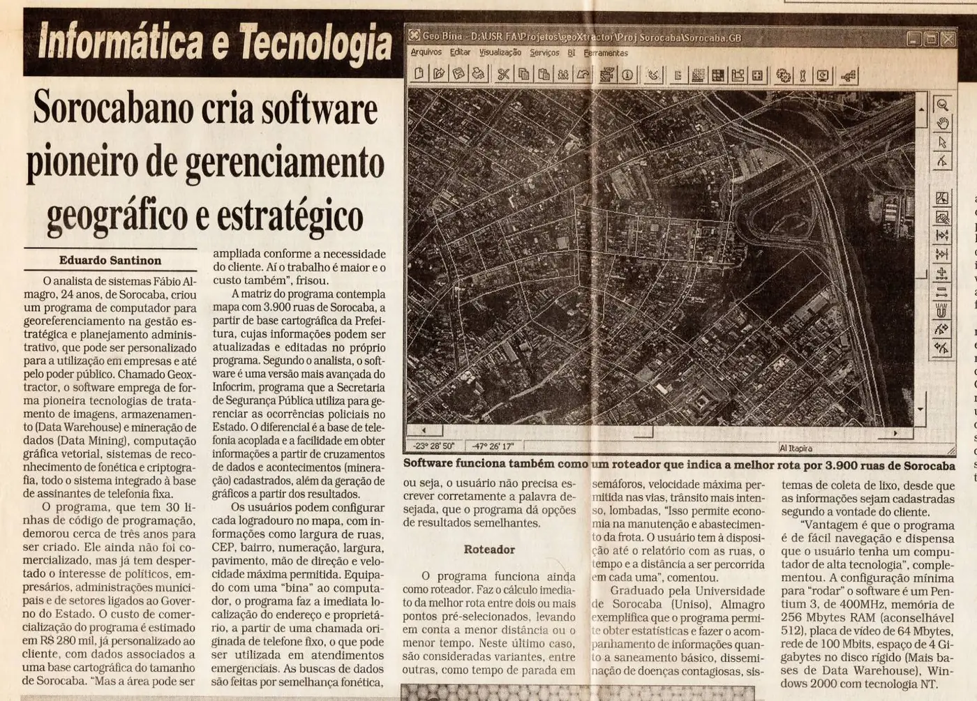
Press of the time: GeoXtractor reported as pioneering geographic and strategic management software, with the map of Sorocaba's 3,900 streets.
It was the same problem as today, solved too early: turning data into decisions about the territory. So early that the laws that today make this kind of technology practically mandatory — the New Procurement Law (14.133) and the Startups Legal Framework (LC 182) — would only arrive almost two decades later, in 2021.
From then to now, Data Warehouse, Data Mining and business intelligence have given way to MOLAP interfaces, 3D geoprocessing and artificial intelligence — always with the same purpose and the same requirement: that every piece of information be traceable back to its source.
4DView Systems is the mature form of that journey. Each product is born from the same architecture and the same rigor — a coherence of method, rare in portfolios assembled by different teams, that makes everything speak the same language and withstand any audit.
Get in touch and schedule a conversation, no strings attached.